

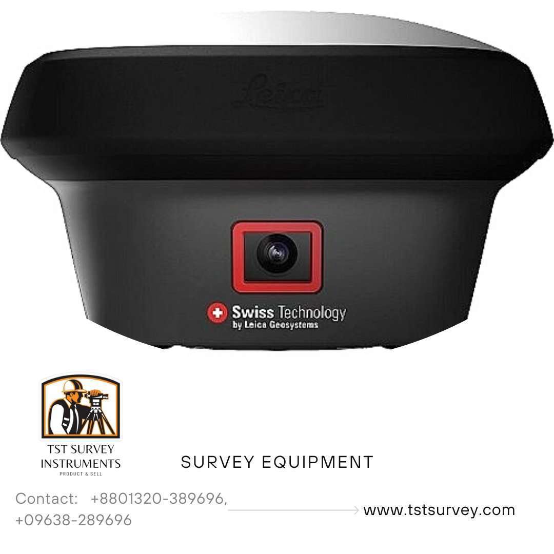


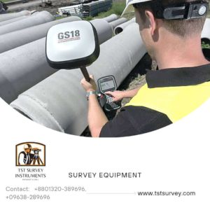
Leica GS18 I RTK GNSS Receiver – Revolutionizing Surveying with Visual Positioning
At TST Survey Instruments, Bangladesh’s premier supplier of survey equipment, we bring you the groundbreaking Leica GS18 I RTK GNSS Receiver. This advanced device combines GNSS, IMU, and a camera to introduce Visual Positioning Technology, empowering surveyors to measure what they see with unprecedented precision. The GS18 I is a game-changer in surveying, offering unparalleled versatility, efficiency, and accuracy.Kolida K10 K5plus RTK GNSS Receiver
Key Features of Leica GS18 I RTK GNSS Receiver
1. Visual Positioning Technology
The GS18 I merges GNSS, IMU, and an integrated camera to allow survey-grade measurements directly from images. Capture points in the field or later in the office, giving you unmatched flexibility and control.
2. Tilt Compensation
Retaining all the features of the Leica GS18 T, the GS18 I lets you map points with either a tilted or leveled pole, streamlining operations even in challenging conditions.
3. Fast and Efficient Data Capture
Designed for rapid point collection, the GS18 I can map hundreds of points in just minutes without requiring physical access to each point. This reduces on-site time, eliminates the need for revisits, and ensures thorough data capture.
4. Enhanced Accessibility
Measure points in places previously inaccessible with traditional GNSS rovers. Whether dealing with obstacles or hard-to-reach locations, the GS18 I delivers unmatched flexibility in the field.
5. Versatile Data Use
Captured images can be transformed into point clouds using Leica Infinity software, opening up new possibilities for analysis and visualization in your projects.
Why Choose the Leica GS18 I?
- Accuracy: Achieve survey-grade accuracy in all measurements.
- Efficiency: Capture more data in less time, minimizing fieldwork.
- Versatility: Measure obstructed points or create detailed point clouds.
- Flexibility: Reduce dependency on additional equipment or crews.
- Innovation: Powered by cutting-edge Visual Positioning technology.
Applications, Facebook.
Ideal for surveying, mapping, and geospatial projects, the Leica GS18 I is perfect for professionals looking to maximize efficiency and profits without compromising on accuracy or detail.
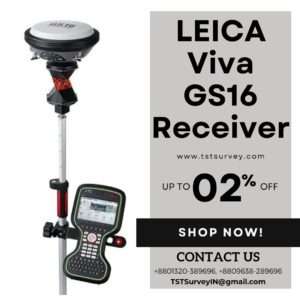
Buy the Leica GS18 I RTK GNSS Receiver in Bangladesh
At TST Survey Instruments, we offer the Leica GS18 I RTK GNSS Receiver at competitive prices. Revolutionize your surveying workflow with this innovative tool and stay ahead in the field.
Contact us today to learn more or place an order!


 No products in the cart.
TST Survey Instruments –
Available LEICA GS Series RTK GNSS GPS Price In Bangladesh